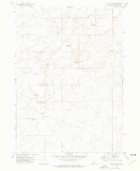
1973 Map of Coffee Point
USGS Topo · Published 1976About this map
Coffee Point rises as a prominent landmark in this 1970s Idaho landscape, anchoring a high-desert terrain defined by vital water-management features. The mapping reveals a network of essential livestock and wildlife water sources, including Sauce Pan Reservoir, Rye Grass Reservoir, and the evocatively named Cottontail Waterhole. These small catchments reflect the practical necessities of ranching and land use in a region where surface water is scarce.
Find a feature on this map
12 named features on this map. Tap any name to fly to it.
Don’t see what you’re looking for? This feature index may not catch every label — zoom into the map to look around manually.
Map Details
Editions of this 1973 Coffee Point Map
This is the sole edition of this map. No revisions or reprints were ever made.
Other maps of this area

1955 · Idaho Falls
USGS Topo · 1:250,000

1958 · Idaho Falls
USGS Topo · 1:250,000

1972 · Split Top
USGS Topo · 1:24,000

1972 · Mosby Well
USGS Topo · 1:24,000

1972 · Sunset Lake
USGS Topo · 1:24,000

1973 · Rock Butte
USGS Topo · 1:24,000
1973 · Coffee Point SW
USGS Topo · 1:24,000

1973 · Lava Lake Reservoir
USGS Topo · 1:24,000

1973 · Coffee Point NE
USGS Topo · 1:24,000
1973 · Big Fill Reservoir
USGS Topo · 1:24,000