
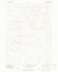
1973 Map of Lava Lake Reservoir
USGS Topo · Published 1976About this map
The Lava flows of the Snake River Plain dominate this 1970s landscape, illustrating a terrain defined by volcanic activity and sparse water resources. In a region where surface water is a critical landmark, the Lava Lake Reservoir and Grover Lake Reservoir provide essential catchment points amidst the basalt. Smaller features like Wood Road Lake further emphasize the hydrological management required in this environment. The eastern edge of the quadrangle is defined by the steady presence of the Union Pacific railroad, which cuts a straight line through the rugged topography, serving as the primary infrastructure link through Bingham County. Industrial activity is represented by the WT No 2 Well, suggesting mid-century resource exploration in an otherwise desolate geologic field.
Find a feature on this map
7 named features on this map. Tap any name to fly to it.
Don’t see what you’re looking for? This feature index may not catch every label — zoom into the map to look around manually.
Map Details
Editions of this 1973 Lava Lake Reservoir Map
This is the sole edition of this map. No revisions or reprints were ever made.
Other maps of this area

1955 · Springfield NW
USGS Topo · 1:24,000

1955 · Idaho Falls
USGS Topo · 1:250,000

1958 · Idaho Falls
USGS Topo · 1:250,000

1973 · Scoville
USGS Topo · 1:24,000

1973 · Middle Butte
USGS Topo · 1:24,000

1973 · Taber
USGS Topo · 1:24,000

1973 · Rock Butte
USGS Topo · 1:24,000

1973 · Atomic City
USGS Topo · 1:24,000

1973 · Coffee Point NE
USGS Topo · 1:24,000
1973 · Coffee Point
USGS Topo · 1:24,000