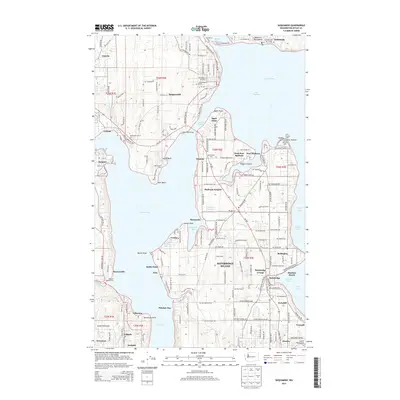
2014 Map of Suquamish
USGS Topo · Published 2014About this map
Bainbridge Island and the Kitsap Peninsula shoreline are depicted here in detail, showcasing a maritime landscape defined by intricate inlets and established coastal communities. The map highlights the connection between the mainland and the island via the Agate Pass Bridge, linking Suquamish to the various neighborhoods of northern Bainbridge. The settlement pattern is dense with named locales like Seabold, Manzanita, and Rollingbay, reflecting the long-standing residential character of the region. Nautical navigation and harbor activities are emphasized through features such as the Point Monroe Light and the Port of Brownsville. This survey also documents local institutions and landmarks, including the Northwest Coll of Art and the Seabold Cem, providing a comprehensive view of the cultural and physical geography of the Puget Sound coastline during the early twenty-first century.
Find a feature on this map
62 named features on this map. Tap any name to fly to it.
Don’t see what you’re looking for? This feature index may not catch every label — zoom into the map to look around manually.
Map Details
Editions of this 2014 Suquamish Map
This is the sole edition of this map. No revisions or reprints were ever made.
Other maps of this area

1894 · Seattle
USGS Topo · 1:62,500

1895 · Snohomish
USGS Topo · 1:125,000

1897 · Seattle
USGS Topo · 1:125,000

1908 · Seattle
USGS Topo · 1:62,500

1909 · Seattle Special
USGS Topo · 1:62,500

1937 · Port Orchard
USGS Topo · 1:62,500

1937 · Port Gamble
USGS Topo · 1:62,500

1940 · Port Gamble
USGS Topo · 1:62,500

1942 · Edmonds
USGS Topo · 1:62,500

1949 · Shilshole Bay
USGS Topo · 1:24,000