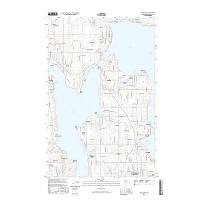
2017 Map of Suquamish
USGS Topo · Published 2017About this map
Bainbridge Island dominates this detailed maritime study, separated from the Great Peninsula by the narrow Agate Passage. The landscape is defined by its intricate shoreline, where residential settlements like Indianola and Suquamish overlook Port Madison and the wider Puget Sound. The intricate network of inlets, including Manzanita Bay, Fletcher Bay, and Murden Cove, illustrates the historical reliance on water access for these coastal communities.
Find a feature on this map
95 named features on this map. Tap any name to fly to it.
Don’t see what you’re looking for? This feature index may not catch every label — zoom into the map to look around manually.
Map Details
Editions of this 2017 Suquamish Map
This is the sole edition of this map. No revisions or reprints were ever made.
Other maps of this area

1894 · Seattle
USGS Topo · 1:62,500

1895 · Snohomish
USGS Topo · 1:125,000

1897 · Seattle
USGS Topo · 1:125,000

1908 · Seattle
USGS Topo · 1:62,500

1909 · Seattle Special
USGS Topo · 1:62,500
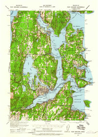
1937 · Port Orchard
USGS Topo · 1:62,500
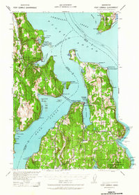
1937 · Port Gamble
USGS Topo · 1:62,500
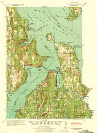
1940 · Port Gamble
USGS Topo · 1:62,500
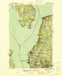
1942 · Edmonds
USGS Topo · 1:62,500
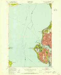
1949 · Shilshole Bay
USGS Topo · 1:24,000