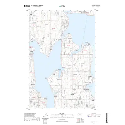
2020 Map of Suquamish
USGS Topo · Published 2020About this map
Bainbridge Island dominates the central and southern reaches of this survey, separated from the Great Peninsula by the waters of Agate Passage. The landscape is a complex network of bays and points, where the Agate Pass Bridge connects the island to the mainland near the community of Suquamish. The northern tip of the island is defined by the sheltered waters of Port Madison and the distinct geography of Point Monroe and Hedley Spit. On the mainland to the west, the settlement of Poulsbo sits at the head of Liberty Bay, while Keyport and its associated Keyport Lagoon occupy a prominent peninsula to the south.
Find a feature on this map
99 named features on this map. Tap any name to fly to it.
Don’t see what you’re looking for? This feature index may not catch every label — zoom into the map to look around manually.
Map Details
Editions of this 2020 Suquamish Map
This is the sole edition of this map. No revisions or reprints were ever made.
Other maps of this area

1894 · Seattle
USGS Topo · 1:62,500

1895 · Snohomish
USGS Topo · 1:125,000

1897 · Seattle
USGS Topo · 1:125,000

1908 · Seattle
USGS Topo · 1:62,500

1909 · Seattle Special
USGS Topo · 1:62,500

1937 · Port Orchard
USGS Topo · 1:62,500

1937 · Port Gamble
USGS Topo · 1:62,500

1940 · Port Gamble
USGS Topo · 1:62,500

1942 · Edmonds
USGS Topo · 1:62,500

1949 · Shilshole Bay
USGS Topo · 1:24,000