Loading...
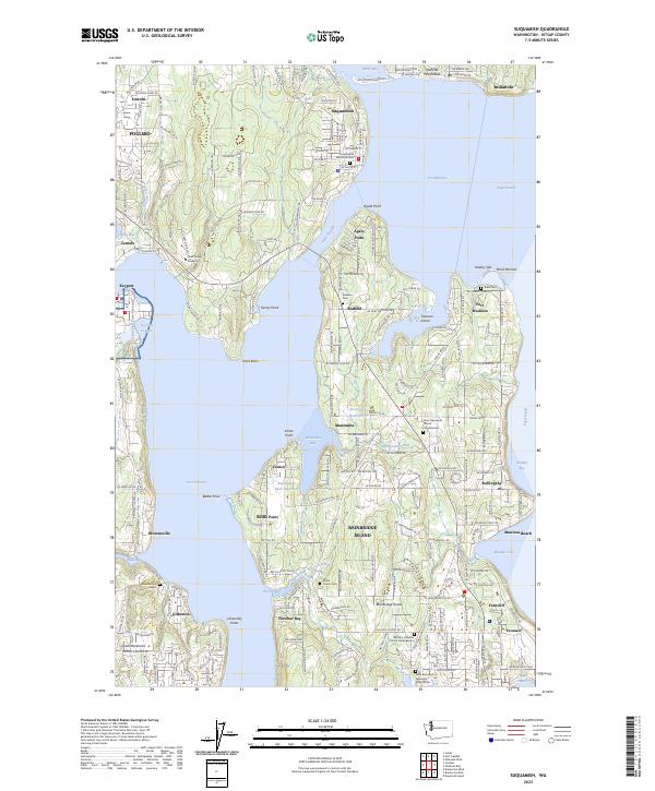
Loading map...2023 Map of Suquamish
USGS Topo · Published 2023About this map
Suquamish sits at the northern gateway to Bainbridge Island, overlooking the waters of Agate Passage and Port Madison. This coastal landscape is defined by its deep maritime roots, evidenced by the presence of Naval Base Kitsap-Keyport on the western shore of Liberty Bay and a series of historic cemeteries and columbaria, including Suquamish Memorial Cem and the Saint Barnabas Episcopal Church Cem.
Find a feature on this map
216 named features on this map. Tap any name to fly to it.
Don’t see what you’re looking for? This feature index may not catch every label — zoom into the map to look around manually.
Map Details
Date Portrayed2023
Date Published2023
PublisherU.S. Geological Survey
Map TypeTopographic
Scale1:24000
Physical Dimensions24 x 29 inches
Editions of this 2023 Suquamish Map
This is the sole edition of this map. No revisions or reprints were ever made.
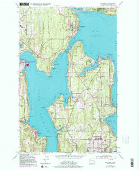
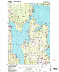
Historical Maps of Manzanita Through Time
3 maps found
Featured Locations
Source Details
SourceU.S. Geological Survey
CopyrightPublic Domain