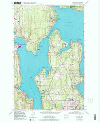
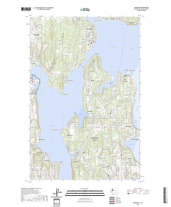
1997 Map of Suquamish
USGS Topo · Published 2003About this map
Port Madison Indian Reservation lands dominate the northern portion of this coastal landscape, surrounding the established community of Suquamish and the shores of Miller Bay. The map captures a transitional era on the Kitsap Peninsula and Bainbridge Island, where maritime infrastructure like the Agate Pass Bridge connects the island's interior roads to the mainland. While Poulsbo is visible at the northwestern edge, much of the detail focuses on the coastal settlements and points like Agate Point and Port Madison.
Find a feature on this map
65 named features on this map. Tap any name to fly to it.
Don’t see what you’re looking for? This feature index may not catch every label — zoom into the map to look around manually.
Map Details
Editions of this 1997 Suquamish Map
This is the sole edition of this map. No revisions or reprints were ever made.
Historical Maps of Rolling Bay Through Time
3 maps found