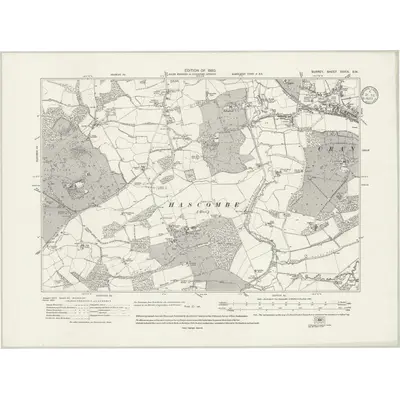
1913 Map of Surrey XXXIX.SW
Ordnance Survey Six-inch · Published 1933This historical map portrays the area of Surrey XXXIX.SW in 1913, primarily covering Cranleigh as well as portions of Alfold, Dunsfold, and Bramley. Featuring a scale of 1:10,560, this map provides a highly detailed snapshot of the terrain, roads, buildings, parishes, and historical landmarks in the Surrey XXXIX.SW region at the time. Published in 1933, it is one of 2 known editions of this map due to revisions or reprints.
Map Details
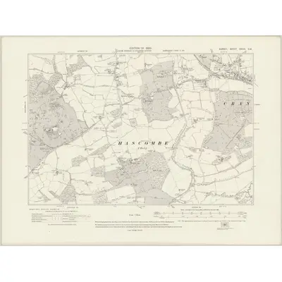
Editions of this 1913 Surrey XXXIX.SW Map
2 editions found
Other maps of this area
1870 · Sussex I
Ordnance Survey Six-inch · 1:10,560
1871 · Surrey XXXIX
Ordnance Survey Six-inch · 1:10,560
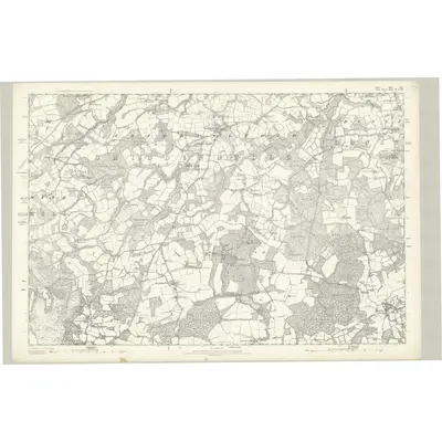
1871 · Surrey XLV
Ordnance Survey Six-inch · 1:10,560
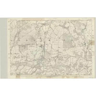
1871 · Surrey XXXVIII
Ordnance Survey Six-inch · 1:10,560
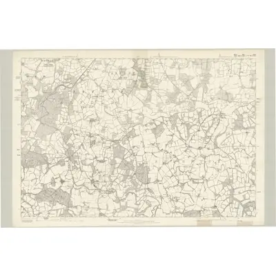
1871 · Surrey XLVI
Ordnance Survey Six-inch · 1:10,560
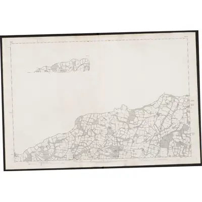
1875 · Sussex II (inset I)
Ordnance Survey Six-inch · 1:10,560
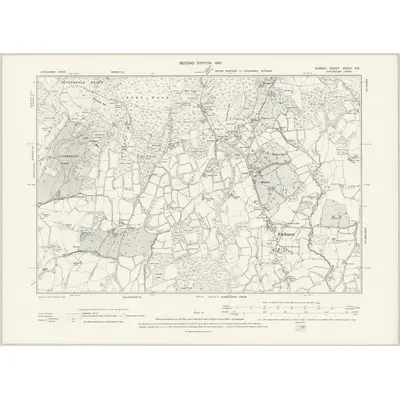
1895 · Surrey XXXIX.NE
Ordnance Survey Six-inch · 1:10,560
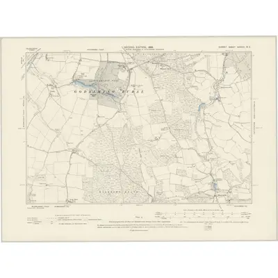
1895 · Surrey XXXVIII.NE
Ordnance Survey Six-inch · 1:10,560
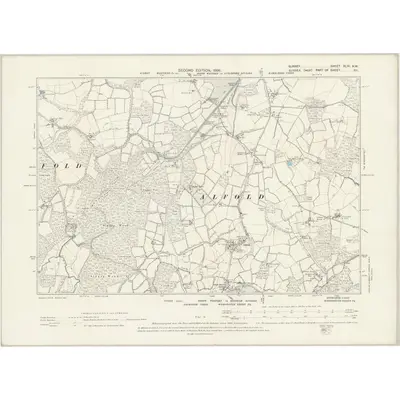
1895 · Surrey XLVI.NW
Ordnance Survey Six-inch · 1:10,560
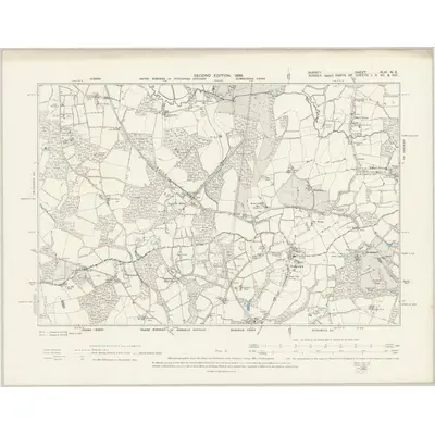
1895 · Surrey XLVI.NE
Ordnance Survey Six-inch · 1:10,560
Featured Places
Source Details
Reproduced with the permission of the National Library of Scotland