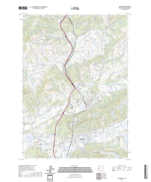
2023 Map of Sutherlin
USGS Topo · Published 2023About this map
Sutherlin and the adjacent community of Oakland serve as the primary hubs in this Douglas County landscape, where the flat valley floors of Camas Swale and Rice Valley meet the rising foothills. The settlement pattern is defined by its proximity to water and transport, with the newer developments of Sutherlin contrasting with the historic grid of Old Town. Genealogy interests are well-served by the documentation of several local burial grounds, including the Independent Order of Odd Fellows Cem, the Reason-Reed Cem, and the Metz Hill Cem located near the western ridge. Numerous drainage systems like Calapooya Creek and Sutherlin Creek converge here, feeding into larger bodies such as Fords Pond. The area's infrastructure is further detailed by small aviation sites like Whitaker Airport and Heavens Gate Ranch Airport, alongside a network of rural routes such as Goodrich Hwy and Rice Valley South Rd.
Find a feature on this map
109 named features on this map. Tap any name to fly to it.
Don’t see what you’re looking for? This feature index may not catch every label — zoom into the map to look around manually.
Map Details
Editions of this 2023 Sutherlin Map
This is the sole edition of this map. No revisions or reprints were ever made.
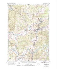
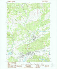
Historical Maps of Oakland Through Time
3 maps found