Loading...
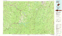
Loading map...1981 Map of Sutton
USGS Topo · Published 1982About this map
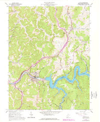
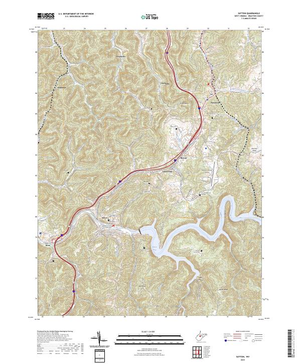
Sutton and Gassaway serve as central hubs along the winding Elk River in this early 1980s look at central West Virginia. The landscape is defined by the massive impoundments of Sutton Lake and Burnsville Lake, which restructured the local topography following their completion. To the east, the terrain rises significantly into the high ridges of the Allegheny Mountains, including Rich Mountain and Point Mountain.
Find a feature on this map
132 named features on this map. Tap any name to fly to it.
Don’t see what you’re looking for? This feature index may not catch every label — zoom into the map to look around manually.
Map Details
Date Portrayed1981
Date Published1982
PublisherU.S. Geological Survey
Map TypeTopographic
Scale1:100,000
Physical Dimensions41.6 x 24 inches
Editions of this 1981 Sutton Map
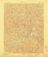
This is the sole edition of this map. No revisions or reprints were ever made.
Historical Maps of Buckhannon Through Time
6 maps found
Featured Locations
Source Details
SourceU.S. Geological Survey
CopyrightPublic Domain