Loading...
Loading map...2024 Map of Sutton
USGS Topo · Published 2024About this map
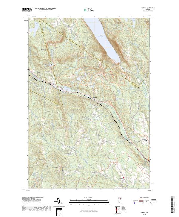
Lake Willoughby dominates the northern landscape of this region, carved between the dramatic heights of Mt Pisgah and Mt Hor. This area of Caledonia County is defined by its rugged topography and the small, high-elevation settlements that follow the natural gaps in the mountains. The village of Sutton lies in the south along the Sutton River, while rural life is marked by numerous family-named landmarks and historical burial sites.
Find a feature on this map
96 named features on this map. Tap any name to fly to it.
Don’t see what you’re looking for? This feature index may not catch every label — zoom into the map to look around manually.
Map Details
Date Portrayed2024
Date Published2024
PublisherU.S. Geological Survey
Map TypeTopographic
Scale1:24000
Physical Dimensions24 x 29 inches
Editions of this 2024 Sutton Map
This is the sole edition of this map. No revisions or reprints were ever made.
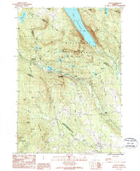
Historical Maps of Perry Through Time
Featured Locations
Source Details
SourceU.S. Geological Survey
CopyrightPublic Domain