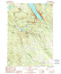
1986 Map of Sutton
USGS Topo · Published 1987About this map
Lake Willoughby dominates the northern terrain of this Vermont landscape, framed by the dramatic heights of Mt Pisgah and Mt Hor. The 1980s topography reveals a rural network defined by the Willoughby State Forest and the large Calendar Brook State Wildlife Management Area to the south. Settlement is concentrated along the transport corridors, including the village of Sutton and the rail-oriented Willoughby (Kimball Sta), alongside isolated spots like Summit and Sutton Station.
Find a feature on this map
55 named features on this map. Tap any name to fly to it.
Don’t see what you’re looking for? This feature index may not catch every label — zoom into the map to look around manually.
Map Details
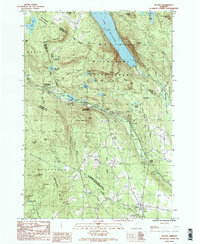
Editions of this 1986 Sutton Map
2 editions found
Other maps of this area

1919 · Lake Memphremagog
USGS Topo · 1:62,500

1920 · Derby
USGS Topo · 1:62,500

1923 · Lake Memphremagog
USGS Topo · 1:48,000

1924 · Island Pond
USGS Topo · 1:48,000

1925 · Memphremagog
USGS Topo · 1:62,500

1926 · Island Pond
USGS Topo · 1:62,500

1935 · Lyndonville
USGS Topo · 1:48,000

1939 · Lyndonville
USGS Topo · 1:62,500

1950 · Lake Champlain
USGS Topo · 1:250,000

1950 · Lewiston
USGS Topo · 1:250,000