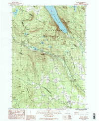
1986 Map of Sutton
USGS Topo · Published 1987About this map
Lake Willoughby dominates the northern landscape, framed by the dramatic heights of Mt Pisgah and Mt Hor. This 1980s topographic study captures the rural character of the Sutton area, where the terrain transitions from the high peaks of Wheeler Mountain and Hardscrabble Mtn to the narrow valley floors. The settlement pattern is largely defined by the rail and river corridors, notably at Sutton Station and Willoughby (Kimball Sta), which served as vital transit points in this part of Caledonia County.
Find a feature on this map
50 named features on this map. Tap any name to fly to it.
Don’t see what you’re looking for? This feature index may not catch every label — zoom into the map to look around manually.
Map Details
Editions of this 1986 Sutton Map
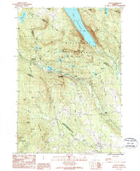
2 editions found
Other maps of this area

1919 · Lake Memphremagog
USGS Topo · 1:62,500

1920 · Derby
USGS Topo · 1:62,500

1923 · Lake Memphremagog
USGS Topo · 1:48,000

1924 · Island Pond
USGS Topo · 1:48,000

1925 · Memphremagog
USGS Topo · 1:62,500

1926 · Island Pond
USGS Topo · 1:62,500

1935 · Lyndonville
USGS Topo · 1:48,000

1939 · Lyndonville
USGS Topo · 1:62,500

1950 · Lake Champlain
USGS Topo · 1:250,000

1950 · Lewiston
USGS Topo · 1:250,000