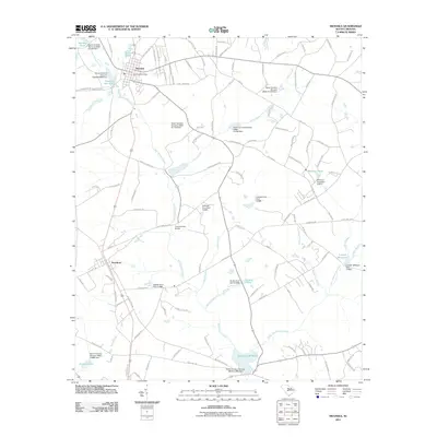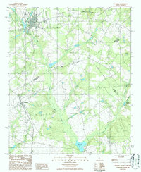
1986 Map of Swansea
USGS Topo · Published 1986About this map
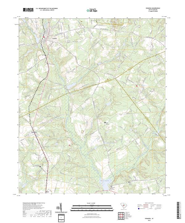
Swansea serves as the primary hub in this mid-1980s landscape, where three South Carolina counties — Lexington, Calhoun, and Orangeburg — meet. The geography is defined by a dense network of blackwater drainage systems, most notably Bull Swamp Creek and its many tributaries like Third Creek and Cow Branch. These wetlands and slow-moving waters were historically harnessed for local industry, evidenced by the numerous millponds scattered across the quadrangle, including Etheredge Millpond and Brooker Millpond. To the south, the smaller settlement of Woodford sits near the Orangeburg County line.
Find a feature on this map
23 named features on this map. Tap any name to fly to it.
Don’t see what you’re looking for? This feature index may not catch every label — zoom into the map to look around manually.
Map Details
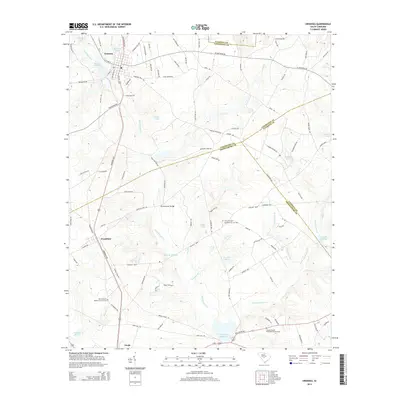
Editions of this 1986 Swansea Map
This is the sole edition of this map. No revisions or reprints were ever made.
Historical Maps of Swansea Through Time
6 maps found