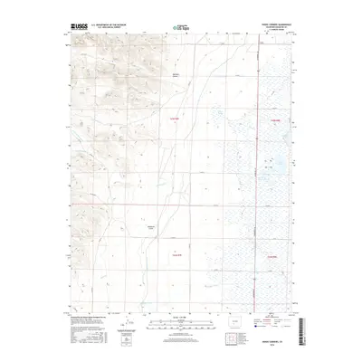
2016 Map of Swede Corners
USGS Topo · Published 2016About this map
Swede Corners anchors the northern reaches of this landscape where the high desert terrain meets a complex system of hydraulic engineering and natural wetlands. The eastern half of the map is defined by a dense cluster of water bodies, including Davey Lake, Trites Lake, and Johnson Lake, which appear as distinct basins within a low-lying drainage plain. This hydrology is influenced by the Rio Grande Canal, which cuts through the central area, signaling the importance of water management for agriculture in Saguache County.
Find a feature on this map
37 named features on this map. Tap any name to fly to it.
Don’t see what you’re looking for? This feature index may not catch every label — zoom into the map to look around manually.
Map Details
Editions of this 2016 Swede Corners Map
This is the sole edition of this map. No revisions or reprints were ever made.
Other maps of this area

1915 · Del Norte
USGS Topo · 1:125,000

1917 · Del Norte
USGS Topo · 1:125,000

1945 · Durango
USGS Topo · 1:250,000

1953 · Durango
USGS Topo · 1:250,000

1954 · Durango
USGS Topo · 1:250,000

1956 · Montrose
USGS Topo · 1:250,000

1959 · Montrose
USGS Topo · 1:250,000

1960 · Montrose
USGS Topo · 1:250,000

1961 · Durango
USGS Topo · 1:250,000

1963 · Durango
USGS Topo · 1:250,000