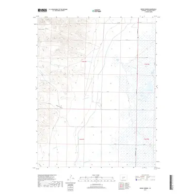
2019 Map of Swede Corners
USGS Topo · Published 2019About this map
Swede Corners sits at a crossroads where the high-altitude topography of Saguache County transitions from the western slopes into the vast hydrologic network of the San Luis Valley. To the west, the landscape is defined by the sharp elevation changes of Red Rock Canyon and Sanderson Gulch, while the eastern portion of the map reveals a complex system of drainage and water management. Significant water features include Davey Lake, Trites Lake, and the larger Johnson Lake and Kimmel Lake complex. The engineering of the Rio Grande Canal and the presence of Russell Springs underscore the critical importance of water rights and irrigation in this semi-arid region. Tracing the paths of San Juan Cr and Cottonwood Cr as they flow toward the basin floor illustrates the natural hydrology that supported early settlement and ranching operations in this part of Colorado.
Find a feature on this map
36 named features on this map. Tap any name to fly to it.
Don’t see what you’re looking for? This feature index may not catch every label — zoom into the map to look around manually.
Map Details
Editions of this 2019 Swede Corners Map
This is the sole edition of this map. No revisions or reprints were ever made.
Other maps of this area

1915 · Del Norte
USGS Topo · 1:125,000

1917 · Del Norte
USGS Topo · 1:125,000

1945 · Durango
USGS Topo · 1:250,000

1953 · Durango
USGS Topo · 1:250,000

1954 · Durango
USGS Topo · 1:250,000

1956 · Montrose
USGS Topo · 1:250,000

1959 · Montrose
USGS Topo · 1:250,000

1960 · Montrose
USGS Topo · 1:250,000

1961 · Durango
USGS Topo · 1:250,000

1963 · Durango
USGS Topo · 1:250,000