Loading...
Loading map...2022 Map of Sweeny
USGS Topo · Published 2022About this map
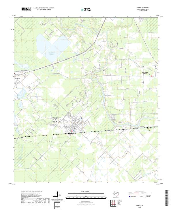
Sweeny serves as the central hub of this Brazoria County landscape, positioned along a complex corridor of drainage and water management. The town is flanked by multiple burial grounds of local significance, including Sweeny Cem North, Sweeny Cem South, and Rainbow Cem. The terrain is defined by the winding course of the San Bernard River, which meanders past Wild Peach Village and through low-lying areas characterized by features like Old Ocean Swamp and Flag Pond.
Find a feature on this map
131 named features on this map. Tap any name to fly to it.
Don’t see what you’re looking for? This feature index may not catch every label — zoom into the map to look around manually.
Map Details
Date Portrayed2022
Date Published2022
PublisherU.S. Geological Survey
Map TypeTopographic
Scale1:24000
Physical Dimensions24 x 29 inches
Editions of this 2022 Sweeny Map
This is the sole edition of this map. No revisions or reprints were ever made.
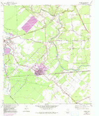
Historical Maps of El Bernardo Through Time
Featured Locations
Source Details
SourceU.S. Geological Survey
CopyrightPublic Domain