Loading...
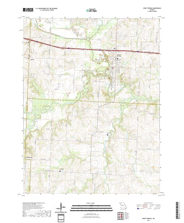
Loading map...2021 Map of Sweet Springs
USGS Topo · Published 2021About this map
Sweet Springs sits at the northern edge of the Missouri Ozark foothills, where the Blackwater River and its many tributaries, such as Salt Pond Cr and Harpers Br, carve a winding path through the landscape. This area serves as a significant crossroads where Lafayette, Saline, and Pettis counties meet, reflecting a late-modern rural layout defined by both agricultural grid roads and the prominent Interstate 70 corridor.
Find a feature on this map
80 named features on this map. Tap any name to fly to it.
Don’t see what you’re looking for? This feature index may not catch every label — zoom into the map to look around manually.
Map Details
Date Portrayed2021
Date Published2021
PublisherU.S. Geological Survey
Map TypeTopographic
Scale1:24000
Physical Dimensions24 x 29 inches
Editions of this 2021 Sweet Springs Map
This is the sole edition of this map. No revisions or reprints were ever made.
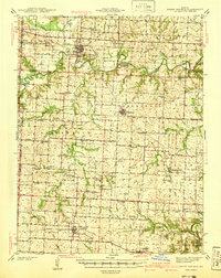
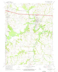
Historical Maps of Johnson County Through Time
6 maps found


Featured Locations
Source Details
SourceU.S. Geological Survey
CopyrightPublic Domain