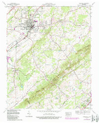
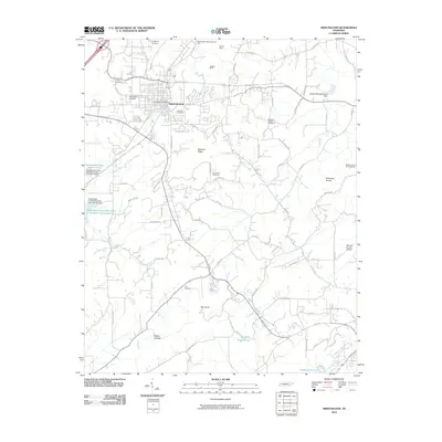
2022 Map of Sweetwater
USGS Topo · Published 2022About this map
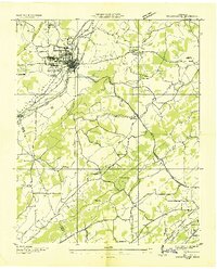
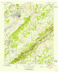
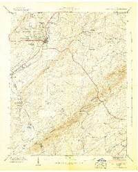
Sweetwater serves as the primary hub of this landscape, situated at the intersection of local industry and transit along the CSX Transportation railroad line. The settlement pattern extends through Sweetwater Valley to outlying communities like Christianburg and East Sweetwater, reflecting the region's agricultural and suburban development. Notable for genealogists and local historians, several family and community burial grounds are documented, including Heiskell Cem, Dickey Cem, and Greenbriar Cem.
Find a feature on this map
88 named features on this map. Tap any name to fly to it.
Don’t see what you’re looking for? This feature index may not catch every label — zoom into the map to look around manually.
Map Details
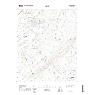
Editions of this 2022 Sweetwater Map
This is the sole edition of this map. No revisions or reprints were ever made.
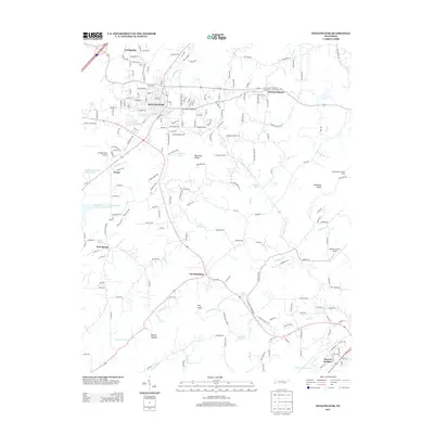
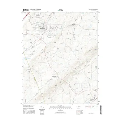
Historical Maps of Sweetwater Through Time
9 maps found