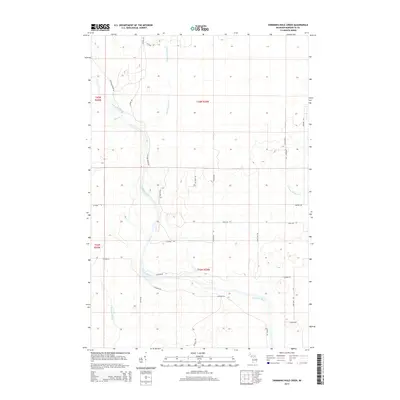
2014 Map of Swimming Hole Creek
USGS Topo · Published 2014About this map
The Escanaba River winds through this section of Marquette County, forming the primary drainage for a landscape defined by its creek systems and logging-road network. Tributaries such as Swimming Hole Cr and Leisner Cr feed into the river, while Summer Meadow Cr and Hunter Brook drain the surrounding forested reaches. The map reflects a modern rural landscape characterized by a grid of local roads, including family-named or utilitarian routes like Homestead Rd and Camp Nine Rd. The infrastructure, featuring Airport Rd and numerous secondary lanes like Plantation Ln, suggests an area managed for timber or recreation, with several township and range boundaries marking the transition between t43n r25w and t42n r24w.
Find a feature on this map
28 named features on this map. Tap any name to fly to it.
Don’t see what you’re looking for? This feature index may not catch every label — zoom into the map to look around manually.
Map Details
Editions of this 2014 Swimming Hole Creek Map
This is the sole edition of this map. No revisions or reprints were ever made.
Other maps of this area

1932 · Rock SW
USGS Topo · 1:31,680

1932 · Helena NW
USGS Topo · 1:31,680

1932 · Helena NE
USGS Topo · 1:31,680

1932 · Whitney NE
USGS Topo · 1:31,680

1932 · Helena SW
USGS Topo · 1:31,680

1932 · Rock NW
USGS Topo · 1:31,680

1932 · Helena
USGS Topo · 1:31,680

1932 · Gladstone NW
USGS Topo · 1:31,680

1950 · Gladstone NW
USGS Topo · 1:31,680

1951 · Helena SW
USGS Topo · 1:31,680