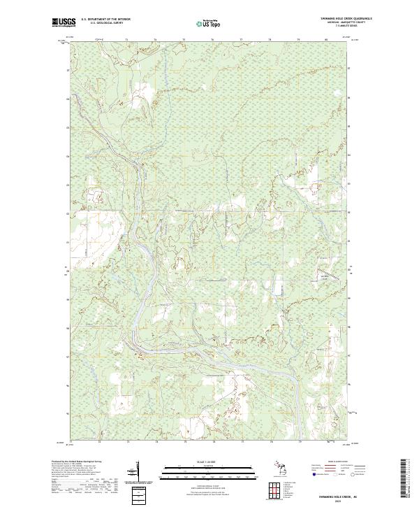
2023 Map of Swimming Hole Creek
USGS Topo · Published 2023About this map
The Escanaba River winds through this section of Marquette County, forming a central corridor for the surrounding wetland and forest landscape. This 2023 survey illustrates a rural network of county roads and named trails that serve the remote timberlands and meadows of Michigan’s Upper Peninsula. Notable water features include Swimming Hole Creek and Summer Meadow Creek, which feed into the primary river system alongside Prisner Creek and Hunter's Brook.
Find a feature on this map
35 named features on this map. Tap any name to fly to it.
Don’t see what you’re looking for? This feature index may not catch every label — zoom into the map to look around manually.
Map Details
Editions of this 2023 Swimming Hole Creek Map
This is the sole edition of this map. No revisions or reprints were ever made.
Other maps of this area

1932 · Rock SW
USGS Topo · 1:31,680

1932 · Helena NW
USGS Topo · 1:31,680

1932 · Helena NE
USGS Topo · 1:31,680

1932 · Whitney NE
USGS Topo · 1:31,680

1932 · Helena SW
USGS Topo · 1:31,680

1932 · Rock NW
USGS Topo · 1:31,680

1932 · Helena
USGS Topo · 1:31,680

1932 · Gladstone NW
USGS Topo · 1:31,680

1950 · Gladstone NW
USGS Topo · 1:31,680

1951 · Helena SW
USGS Topo · 1:31,680