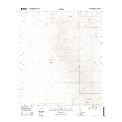
2014 Map of Swisshelm Mountain
USGS Topo · Published 2014About this map
The Swisshelm Mountains dominate this landscape in Cochise County, rising above the arid desert floor near the southern Arizona border. The high point of Swisshelm Mountain anchors the eastern half of the map, where the terrain is carved by steep drainages including the uniquely named Gila Monster Canyon. To the west, the topography levels into a broad basin defined by the Whitewater Draw, a key watercourse in this semi-arid region. The land-use patterns here are reflected in the rectangular grid of rural roads such as W Jefferson Rd and N Princess Palace Way, which trace the sectional boundaries of the Public Land Survey System. This intersection of dramatic desert peaks and structured ranching or homesteading tracts illustrates the late twentieth-century development of the region's rural frontier.
Find a feature on this map
14 named features on this map. Tap any name to fly to it.
Don’t see what you’re looking for? This feature index may not catch every label — zoom into the map to look around manually.
Map Details
Editions of this 2014 Swisshelm Mountain Map
This is the sole edition of this map. No revisions or reprints were ever made.
Other maps of this area

1916 · Pearce
USGS Topo · 1:125,000

1917 · Chiricahua
USGS Topo · 1:125,000

1919 · Chiricahua
USGS Topo · 1:125,000

1922 · Swisshelm
USGS Topo · 1:62,500

1926 · Light
USGS Topo · 1:62,500

1926 · Rucker
USGS Topo · 1:62,500

1926 · Pedregosa
USGS Topo · 1:62,500

1955 · Douglas
USGS Topo · 1:250,000

1958 · Chiricahua Peak
USGS Topo · 1:62,500

1958 · Squaretop Hills
USGS Topo · 1:62,500