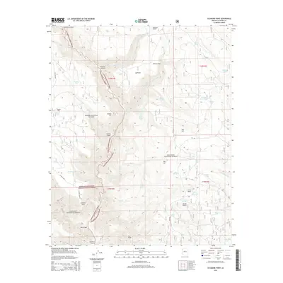
2014 Map of Sycamore Point
USGS Topo · Published 2014About this map
Sycamore Point serves as a dramatic vantage over the intricate drainages where the Kaibab National Forest, Coconino National Forest, and Prescott National Forest converge. This 2014 survey details a high-elevation landscape defined by deep incisions like Sycamore Canyon and Secret Canyon, which break the plateau into distinct ridges such as Buck Ridge. The presence of numerous isolated water sources, including Winter Cabin Spring, Babes Hole Spring, and Strahan Spring, suggests a territory managed for both conservation and livestock, supported by a network of tanks like Turkey Butte Tank and Mooney Tank. Historically used routes such as Sycamore Point Rd and Jerome Rd connect these remote landmarks across the varied terrain of Turkey Butte and Colcord Hill, reflecting the enduring importance of forest access in this part of Coconino County.
Find a feature on this map
64 named features on this map. Tap any name to fly to it.
Don’t see what you’re looking for? This feature index may not catch every label — zoom into the map to look around manually.
Map Details
Editions of this 2014 Sycamore Point Map
This is the sole edition of this map. No revisions or reprints were ever made.
Other maps of this area

1886 · San Francisco Mtns
USGS Topo · 1:250,000

1886 · Chino
USGS Topo · 1:250,000

1887 · Verde
USGS Topo · 1:250,000

1887 · Prescott
USGS Topo · 1:250,000

1891 · San Francisco Mtns
USGS Topo · 1:250,000

1891 · Chino
USGS Topo · 1:250,000

1892 · Verde
USGS Topo · 1:250,000

1892 · Prescott
USGS Topo · 1:250,000

1894 · San Francisco Mtns
USGS Topo · 1:250,000

1899 · San Francisco Mtns
USGS Topo · 1:250,000