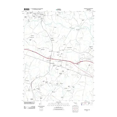
2011 Map of Sykesville
USGS Topo · Published 2011About this map
Sykesville and its surrounding Maryland landscapes are defined by the winding course of the South Branch Patapsco River and the upper reaches of the Patuxent watershed. The 2011 terrain shows a dense network of suburban developments like Gaither Manor, Heatherwood, and Albeth Heights established alongside older institutional and industrial sites. The Piccirilli Quarries near Marriottsville represent the area's geological utility, while large agricultural footprints remain at the University of Maryland Central Farm. Local history is preserved in several burial grounds, including the Springfield Cemetery and Saint Josephs Cemetery, which serve as quiet landmarks among the modern residential growth. The transition from the Patapsco valley to the Middle Patuxent River basin illustrates the region's topographical complexity and its continued role as a populated corridor between major Maryland centers.
Find a feature on this map
171 named features on this map. Tap any name to fly to it.
Don’t see what you’re looking for? This feature index may not catch every label — zoom into the map to look around manually.
Map Details
Editions of this 2011 Sykesville Map
This is the sole edition of this map. No revisions or reprints were ever made.
Other maps of this area

1892 · Laurel
USGS Topo · 1:62,500

1892 · Ellicott
USGS Topo · 1:62,500

1893 · Frederick
USGS Topo · 1:125,000

1894 · Ellicott
USGS Topo · 1:62,500

1894 · Laurel
USGS Topo · 1:62,500

1894 · Frederick
USGS Topo · 1:125,000

1897 · Laurel
USGS Topo · 1:62,500

1906 · Ellicott
USGS Topo · 1:62,500

1907 · Laurel
USGS Topo · 1:62,500

1908 · Patapsco
USGS Topo · 1:125,000