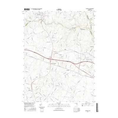
2016 Map of Sykesville
USGS Topo · Published 2016About this map
Sykesville sits at the northern edge of this landscape, where the South Branch Patapsco River carves a winding path through the borderlands of Carroll and Howard Counties. The area is defined by its complex network of watercourses, with the Little Patuxent River and Middle Patuxent River draining the southern reaches. This modern survey reflects the significant residential growth and established transportation corridors of the twenty-first century, centered on the Baltimore National Pike.
Find a feature on this map
136 named features on this map. Tap any name to fly to it.
Don’t see what you’re looking for? This feature index may not catch every label — zoom into the map to look around manually.
Map Details
Editions of this 2016 Sykesville Map
This is the sole edition of this map. No revisions or reprints were ever made.
Other maps of this area

1892 · Laurel
USGS Topo · 1:62,500

1892 · Ellicott
USGS Topo · 1:62,500

1893 · Frederick
USGS Topo · 1:125,000

1894 · Ellicott
USGS Topo · 1:62,500

1894 · Laurel
USGS Topo · 1:62,500

1894 · Frederick
USGS Topo · 1:125,000

1897 · Laurel
USGS Topo · 1:62,500

1906 · Ellicott
USGS Topo · 1:62,500

1907 · Laurel
USGS Topo · 1:62,500

1908 · Patapsco
USGS Topo · 1:125,000