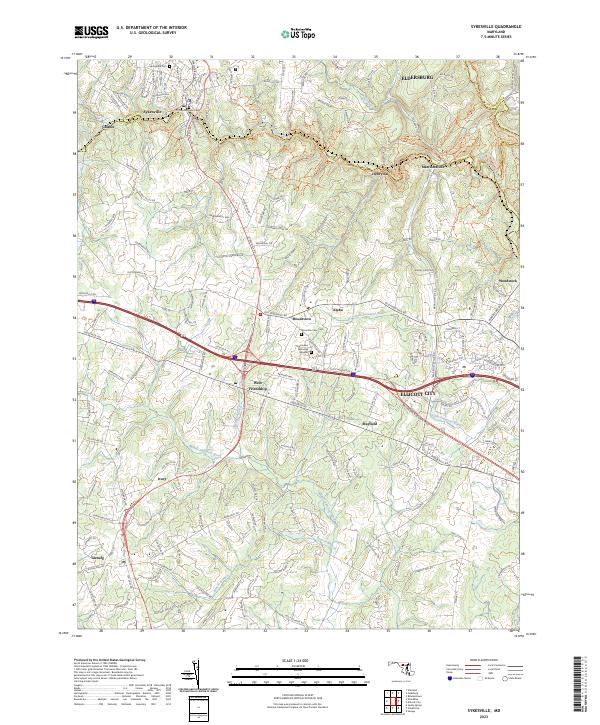
2023 Map of Sykesville
USGS Topo · Published 2023About this map
Sykesville and Ellicott City anchor this modern-era study of the Carroll and Howard county borderlands. The landscape is defined by the winding courses of the South Branch Patapsco River and the Little Patuxent River, which historically dictated the placement of small communities like Henryton and Marriottsville. While the Baltimore National Pike and Sykesville Rd facilitate regional movement, the map preserves the location of many local burial grounds, including Springfield Cem and Saint Josephs Cem.
Find a feature on this map
32 named features on this map. Tap any name to fly to it.
Don’t see what you’re looking for? This feature index may not catch every label — zoom into the map to look around manually.
Map Details
Editions of this 2023 Sykesville Map
This is the sole edition of this map. No revisions or reprints were ever made.
Other maps of this area

1892 · Laurel
USGS Topo · 1:62,500

1892 · Ellicott
USGS Topo · 1:62,500

1893 · Frederick
USGS Topo · 1:125,000

1894 · Ellicott
USGS Topo · 1:62,500

1894 · Laurel
USGS Topo · 1:62,500

1894 · Frederick
USGS Topo · 1:125,000

1897 · Laurel
USGS Topo · 1:62,500

1906 · Ellicott
USGS Topo · 1:62,500

1907 · Laurel
USGS Topo · 1:62,500

1908 · Patapsco
USGS Topo · 1:125,000