
1928 Map of Sylmar
USGS Topo · Published 1928About this map
Sylmar and the surrounding northern Los Angeles foothills are captured here in the late 1920s, showing a landscape defined by the historical boundaries of the Ex Mission San Fernando. The presence of the Olive View Sanatorium and the El Retiro School for Girls reflects the specialized institutions that sought the area's elevation and open space during this era. Infrastructure plays a prominent role, with the Southern Pacific railroad cutting through the valley floor and the Upper San Fernando Reservoir tucked against the hills, supported by a nearby Power House. The map details the early suburban layout through thoroughfares like Yarnell Ave and Roxford Ave, while the northern edge remains largely undeveloped within the Angeles National Forest. Natural features like Grapevine Canyon and the Pacoima Wash provide clear markers of the rugged terrain that shaped the growth of the City of Los Angeles in this region.
Find a feature on this map
21 named features on this map. Tap any name to fly to it.
Don’t see what you’re looking for? This feature index may not catch every label — zoom into the map to look around manually.
Map Details
Editions of this 1928 Sylmar Map
This is the sole edition of this map. No revisions or reprints were ever made.
Other maps of this area

1900 · Fernando
USGS Topo · 1:62,500

1901 · Southern California Sheet No. 1
USGS Topo · 1:250,000

1903 · Camulos
USGS Topo · 1:125,000

1903 · Santa Susana
USGS Topo · 1:62,500

1904 · Southern California Sheet No. 1
USGS Topo · 1:250,000

1925 · Sylmar
USGS Topo · 1:24,000
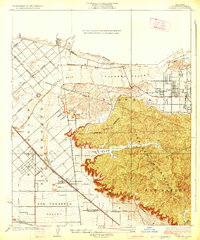
1926 · Sunland
USGS Topo · 1:24,000
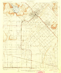
1927 · Pacoima
USGS Topo · 1:24,000
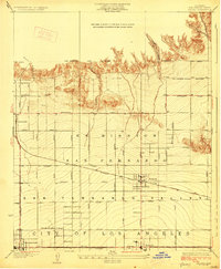
1928 · Zelzah
USGS Topo · 1:24,000
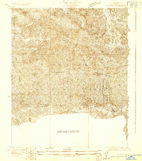
1929 · Sylmar
USGS Topo · 1:24,000