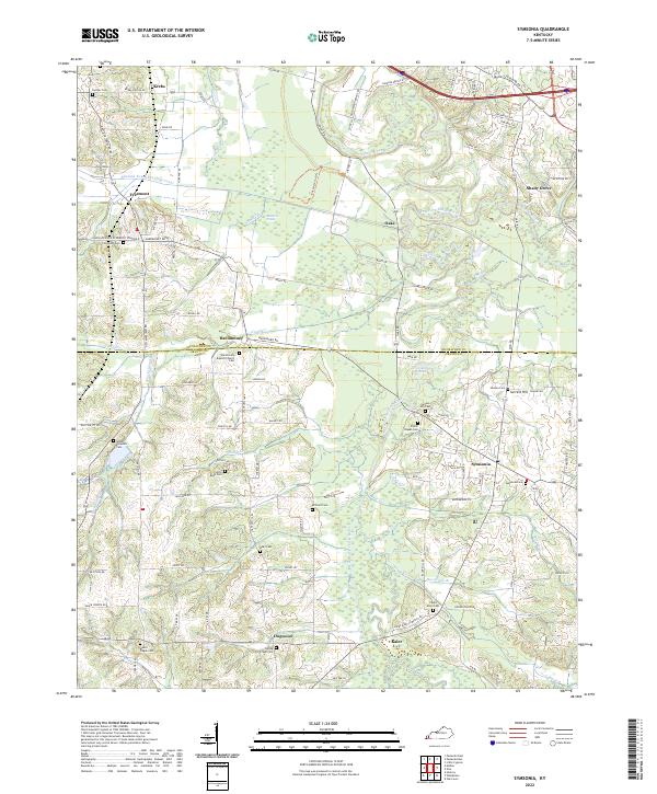
2022 Map of Symsonia
USGS Topo · Published 2022About this map
Symsonia and the surrounding rural communities of Graves Co and McCracken Co define this landscape south of the Clarks River delta. The area is marked by a high concentration of family and community burial grounds, such as McClure Cem, Thompson Cem, and Hardmoney Cem, which provide significant anchor points for local genealogical research. Small settlements like Hardmoney, Dogwood, and Kaler are linked by a network of country roads crossing the lowlands of the West Fork Clarks River and its various tributaries.
Find a feature on this map
113 named features on this map. Tap any name to fly to it.
Don’t see what you’re looking for? This feature index may not catch every label — zoom into the map to look around manually.
Map Details
Editions of this 2022 Symsonia Map
This is the sole edition of this map. No revisions or reprints were ever made.
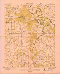
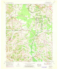
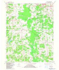
Historical Maps of Shady Grove Through Time
4 maps found