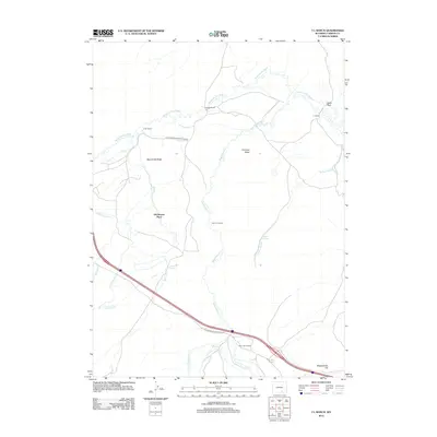
2012 Map of T L Ranch
USGS Topo · Published 2012About this map
The Medicine Bow River winds through this Carbon County landscape, defining a region where water management and ranching legacy are central to the terrain. Historic family holdings and agricultural sites are scattered across the map, including the T L Ranch, Johnson Ranch, and the Tyler Homestead. These settlements are linked by long-established routes such as the Elk Mountain Medicine Bow Rd, which follows the river's northern corridor.
Find a feature on this map
22 named features on this map. Tap any name to fly to it.
Don’t see what you’re looking for? This feature index may not catch every label — zoom into the map to look around manually.
Map Details
Editions of this 2012 T L Ranch Map
This is the sole edition of this map. No revisions or reprints were ever made.
Other maps of this area
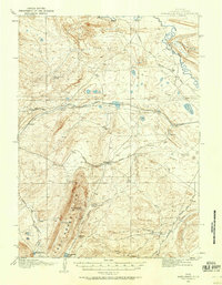
1914 · Saddleback Hills
USGS Topo · 1:62,500
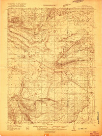
1915 · Como Ridge
USGS Topo · 1:48,000
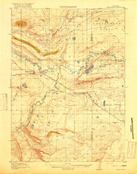
1918 · Como Ridge
USGS Topo · 1:62,500
1921 · Saddleback Hills
USGS Topo · 1:62,500

1954 · Rawlins
USGS Topo · 1:250,000
1955 · Elk Mountain
USGS Topo · 1:24,000
1955 · Elk Mountain SW
USGS Topo · 1:24,000
1958 · Rawlins
USGS Topo · 1:250,000
1958 · White Rock Canyon
USGS Topo · 1:24,000
1958 · Arlington
USGS Topo · 1:24,000