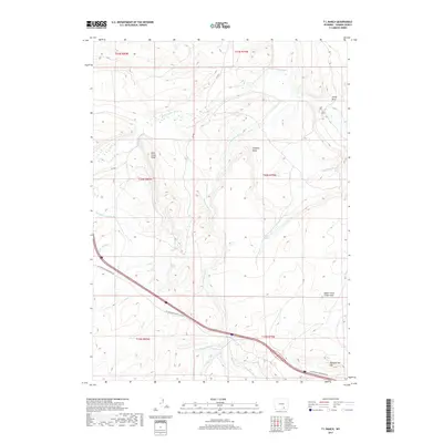
2017 Map of T L Ranch
USGS Topo · Published 2017About this map
T L Ranch and the high plains of Carbon County define this landscape along the winding course of the Medicine Bow River. The terrain is marked by distinctive geological landmarks such as Castle Rock, Chimney Rocks, and the prominent Sheepherder Hill to the southeast. Water management is central to the area's utility, evidenced by the Cherokee Gulch Ditch and Tableland Ditch which cut across the high-altitude contours. The map captures a high-country environment where drainages like Bear Cr and W Fork Wagonhound Cr flow through gaps in the Bear Creek Ridge, supporting isolated cattle ranching operations and seasonal springs like Willow Springs. This survey provides a precise look at the land use and natural landmarks in a sparsely populated section of Wyoming as it appeared in 2017.
Find a feature on this map
25 named features on this map. Tap any name to fly to it.
Don’t see what you’re looking for? This feature index may not catch every label — zoom into the map to look around manually.
Map Details
Editions of this 2017 T L Ranch Map
This is the sole edition of this map. No revisions or reprints were ever made.
Other maps of this area
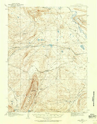
1914 · Saddleback Hills
USGS Topo · 1:62,500
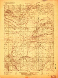
1915 · Como Ridge
USGS Topo · 1:48,000
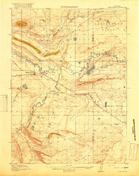
1918 · Como Ridge
USGS Topo · 1:62,500
1921 · Saddleback Hills
USGS Topo · 1:62,500

1954 · Rawlins
USGS Topo · 1:250,000
1955 · Elk Mountain
USGS Topo · 1:24,000
1955 · Elk Mountain SW
USGS Topo · 1:24,000
1958 · Rawlins
USGS Topo · 1:250,000
1958 · White Rock Canyon
USGS Topo · 1:24,000
1958 · Arlington
USGS Topo · 1:24,000