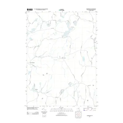
2013 Map of Taborton
USGS Topo · Published 2013About this map
Poesten Kill and the Black River define the drainage of this upland landscape in Rensselaer County, where the hamlets of Taborton and East Poestenkill sit among a dense network of high-elevation water bodies. The terrain is marked by distinctive local landmarks like The Notch, Perigo Hill, and The Gipfel, reflecting the area's complex topography. This survey shows the modern preservation of the land through Cherry Plain State Park and Camp Kiwanis, contrasted with the historical presence of the Snyder Cem and Fifty Six Cem. The map tracks a legacy of rural connectivity via winding routes like Stage Coach Rd and Taborton Rd, which link the various ponds and reservoirs—including Big Bowman Pond, Wager Pond, and the Dunham Reservoir—that characterize this watershed at the start of the 21st century.
Find a feature on this map
92 named features on this map. Tap any name to fly to it.
Don’t see what you’re looking for? This feature index may not catch every label — zoom into the map to look around manually.
Map Details
Editions of this 2013 Taborton Map
This is the sole edition of this map. No revisions or reprints were ever made.
Other maps of this area

1888 · Berlin
USGS Topo · 1:62,500

1890 · Berlin
USGS Topo · 1:62,500

1893 · Cohoes
USGS Topo · 1:62,500

1893 · Troy
USGS Topo · 1:62,500

1894 · Berlin
USGS Topo · 1:62,500

1895 · Troy
USGS Topo · 1:62,500

1895 · Cohoes
USGS Topo · 1:62,500

1897 · Hoosick
USGS Topo · 1:62,500

1898 · Berlin
USGS Topo · 1:62,500

1898 · Cohoes
USGS Topo · 1:62,500