2022 Map of Taft
USGS Topo · Published 2022About this map
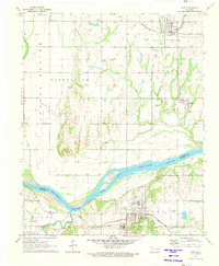
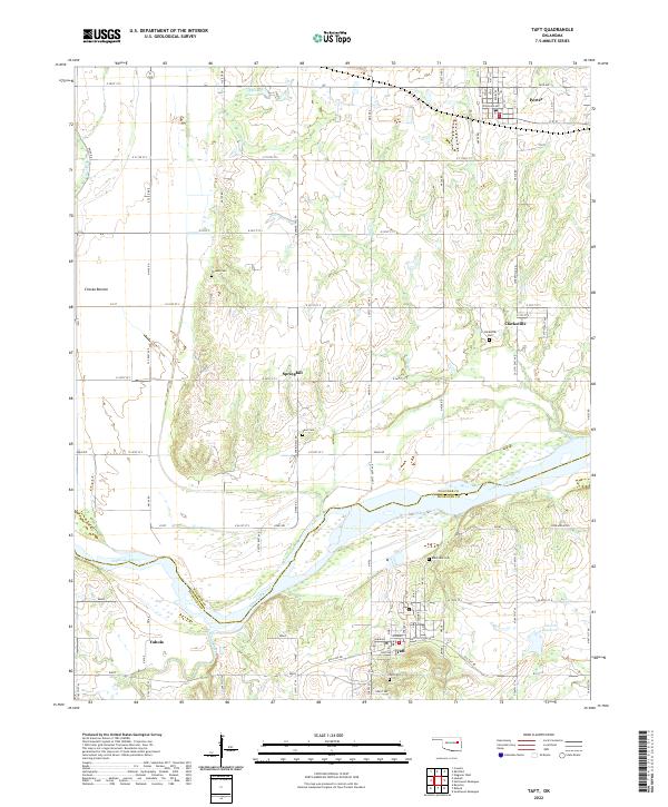
The Arkansas River winds through the heart of this region, marking the boundary between Wagoner and Muskogee Counties. The town of Taft serves as a focal point in the south, characterized by a residential grid featuring streets named Martin Luther King and Choctaw, alongside the local Taft Cem. To the north, the landscape transitions from the low-lying Choska Bottom to the elevated profile of Fern Mountain in the east. Small communities and historical burial sites like Clarksville, Springhill, and Yahola are connected by a network of rural roads including Old Taft Rd and Dixieland Ave. The presence of several family-named or community cemeteries, such as Blackjack Cem and Vann Cem, provides significant points of interest for those researching the settlement patterns and local lineage of this river valley area.
Find a feature on this map
51 named features on this map. Tap any name to fly to it.
Don’t see what you’re looking for? This feature index may not catch every label — zoom into the map to look around manually.
Map Details
Editions of this 2022 Taft Map
This is the sole edition of this map. No revisions or reprints were ever made.