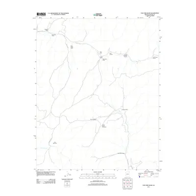
2011 Map of Tah Chee Wash
USGS Topo · Published 2011About this map
Tah Chee Wash and Sitting Giant Rock Wash carve through this landscape within the Chinle Agency, defining a region where water and relief dictate the geography. The terrain is characterized by a series of named valleys and canyons, including Warpath Valley, Black Stump Valley, and High White Valley, which suggest a long-standing vernacular geography tied to specific landmarks. Prominent high points like Wind Rock and Rain Mountain serve as natural beacons across the territory, while smaller water sources like Coal Spring and Bitter Water Wash indicate the critical importance of drainage patterns in this arid environment.
Find a feature on this map
22 named features on this map. Tap any name to fly to it.
Don’t see what you’re looking for? This feature index may not catch every label — zoom into the map to look around manually.
Map Details
Editions of this 2011 Tah Chee Wash Map
This is the sole edition of this map. No revisions or reprints were ever made.
Other maps of this area

1883 · Marsh Pass
USGS Topo · 1:250,000

1892 · Marsh Pass
USGS Topo · 1:250,000

1892 · Canyon De Chelly
USGS Topo · 1:250,000

1954 · Shiprock
USGS Topo · 1:250,000

1956 · Marble Canyon
USGS Topo · 1:250,000

1958 · Shiprock
USGS Topo · 1:250,000

1959 · Shiprock
USGS Topo · 1:250,000

1959 · Marble Canyon
USGS Topo · 1:250,000

1961 · Marble Canyon
USGS Topo · 1:250,000
1967 · Burnt Corn Spring
USGS Topo · 1:24,000