
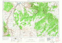
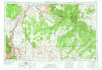
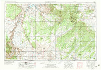
1956 Map of Marble Canyon
USGS Topo · Published 1964About this map
The Colorado River carves through a landscape of immense geological layers, flowing past the Grand Canyon National Park and beneath the historic Navajo Bridge. During the mid-1950s, this region was characterized by the intersection of traditional Navajo and Hopi territories with emerging industrial interests, most notably the Uranium mill near the border of Monument Valley. The map detail captures the remote trading post economy at sites like the Cow Springs Trading Post and Chilchinbito Trading Post, which served as vital crossroads for local residents long before modern infrastructure expanded.
Find a feature on this map
74 named features on this map. Tap any name to fly to it.
Don’t see what you’re looking for? This feature index may not catch every label — zoom into the map to look around manually.
Map Details
Editions of this 1956 Marble Canyon Map
4 editions found
Other maps of this area

1883 · Marsh Pass
USGS Topo · 1:250,000

1883 · Tusayan
USGS Topo · 1:250,000

1886 · Kanab
USGS Topo · 1:250,000

1886 · Tusayan
USGS Topo · 1:250,000

1886 · Fort Defiance
USGS Topo · 1:250,000

1886 · Escalante
USGS Topo · 1:250,000

1886 · Henry Mountains
USGS Topo · 1:250,000

1886 · San Francisco Mtns
USGS Topo · 1:250,000

1886 · Abajo
USGS Topo · 1:250,000

1886 · Chino
USGS Topo · 1:250,000