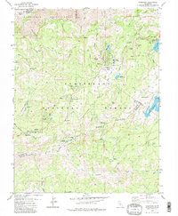
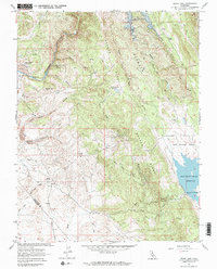
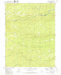
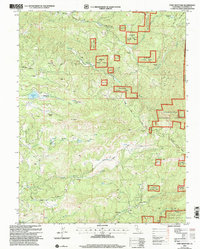
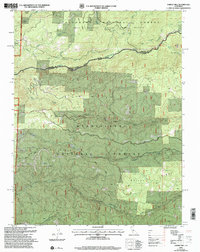
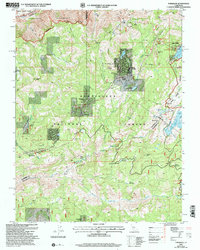
1979 Map of Tamarack
USGS Topo · Published 1979This historical map portrays the area of Tamarack in 1979, primarily covering Calaveras County as well as portions of Alpine County, Amador County, and Tuolumne County. Featuring a scale of 1:24000, this map provides a highly detailed snapshot of the terrain, roads, buildings, counties, and historical landmarks in the Tamarack region at the time. Published in 1979, it is one of 2 known editions of this map due to revisions or reprints.
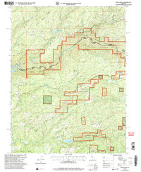
Find a feature on this map
55 named features on this map. Tap any name to fly to it.
Don’t see what you’re looking for? This feature index may not catch every label — zoom into the map to look around manually.
Map Details
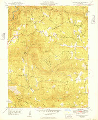
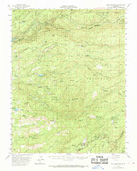
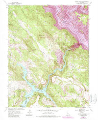
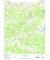
Editions of this 1979 Tamarack Map
2 editions found
Historical Maps of Tuolumne County Through Time
16 maps found
1949 Railroad Flat
Calaveras County, CA
1956 Blue Mountain
Calaveras County, CA

1962 Angels Camp
Calaveras County, CA
1962 Calaveritas
Calaveras County, CA
1962 Jenny Lind
Calaveras County, CA
1962 New Melones Dam
Calaveras County, CA

1962 Salt Spring Valley
Calaveras County, CA
1979 Calaveras Dome
Calaveras County, CA
1979 Devils Nose
Calaveras County, CA
1979 Garnet Hill
Calaveras County, CA
1979 Tamarack
Calaveras County, CA
2001 Calaveras Dome
Calaveras County, CA
2001 Devils Nose
Calaveras County, CA
2001 Fort Mountain
Calaveras County, CA
2001 Garnet Hill
Calaveras County, CA
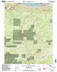
2001 Tamarack
Calaveras County, CA