Loading...
Loading map...2024 Map of Tamms
USGS Topo · Published 2024About this map
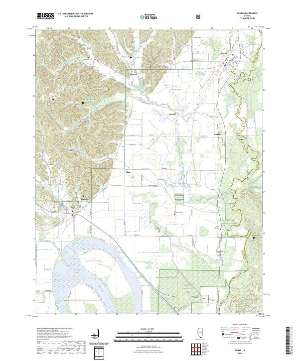
The Cache River bottomlands and the Shawnee National Forest hills define the landscape of this Alexander County region. The community of Tamms serves as a local hub near the boundary of the Cypress Creek National Wildlife Refuge, where the Mill Creek and Sandy Creek drainages converge. To the southwest, the large expanse of Horseshoe Lake dominates the floodplain, flanked by the settlement of Olive Branch and the winding course of Pigeon Roost Creek.
Find a feature on this map
83 named features on this map. Tap any name to fly to it.
Don’t see what you’re looking for? This feature index may not catch every label — zoom into the map to look around manually.
Map Details
Date Portrayed2024
Date Published2024
PublisherU.S. Geological Survey
Map TypeTopographic
Scale1:24000
Physical Dimensions24 x 29 inches
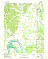
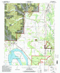
Editions of this 2024 Tamms Map
This is the sole edition of this map. No revisions or reprints were ever made.
Historical Maps of Tamms Through Time
3 maps found
Featured Locations
Source Details
SourceU.S. Geological Survey
CopyrightPublic Domain