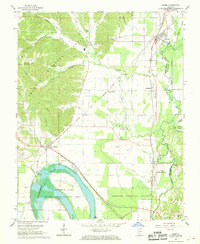
1967 Map of Tamms
USGS Topo · Published 1968About this map
Horseshoe Lake dominates the southwestern corner of this landscape, its distinctive oxbow shape surrounded by the Horseshoe Lake State Conservation Area. This watery environment, fed by Black Creek and Cypress Slough, contrasts with the industrial activity of the northern hills. Local history is etched into the terrain via several family-named burial grounds like Miller Cem and Childers Cem, while the extractive economy of the era is evidenced by a Silica Mine and the Honey School Lookout Tower.
Find a feature on this map
48 named features on this map. Tap any name to fly to it.
Don’t see what you’re looking for? This feature index may not catch every label — zoom into the map to look around manually.
Map Details
Editions of this 1967 Tamms Map
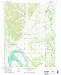
2 editions found
Other maps of this area

1920 · Jonesboro
USGS Topo · 1:62,500

1920 · Dongola
USGS Topo · 1:62,500

1923 · Dongola
USGS Topo · 1:62,500

1923 · Jonesboro
USGS Topo · 1:62,500

1931 · Cairo
USGS Topo · 1:62,500

1933 · Cairo
USGS Topo · 1:62,500

1934 · Thebes
USGS Topo · 1:62,500

1939 · Cairo
USGS Topo · 1:62,500

1939 · Thebes
USGS Topo · 1:62,500

1947 · Jonesboro
USGS Topo · 1:62,500