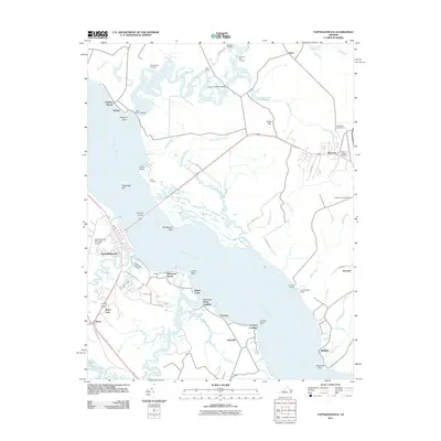
2011 Map of Tappahannock
USGS Topo · Published 2011About this map
The Rappahannock River serves as the central artery of this region, separating the riverside community of Tappahannock from the landings and family-named points of the Northern Neck. In the early 21st century, the landscape is defined by its maritime heritage and agricultural roots, with numerous water-access points like Menokin Landing and Side Landing dotting the northern creeks. The town of Warsaw stands as a hub to the east, home to Saint Johns Cemetery and Clarksville Cemetery.
Find a feature on this map
66 named features on this map. Tap any name to fly to it.
Don’t see what you’re looking for? This feature index may not catch every label — zoom into the map to look around manually.
Map Details
Editions of this 2011 Tappahannock Map
This is the sole edition of this map. No revisions or reprints were ever made.
Other maps of this area

1892 · Piney Point
USGS Topo · 1:62,500

1892 · Montross
USGS Topo · 1:62,500

1894 · Piney Point
USGS Topo · 1:62,500

1895 · Nomini
USGS Topo · 1:125,000

1895 · Piney Point
USGS Topo · 1:62,500

1895 · Montross
USGS Topo · 1:62,500

1898 · Nomini
USGS Topo · 1:125,000

1901 · Piney Point
USGS Topo · 1:62,500

1917 · Morattico
USGS Topo · 1:62,500

1918 · Tappahannock
USGS Topo · 1:62,500