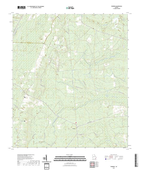
2024 Map of Tarboro
USGS Topo · Published 2024About this map
Tarboro serves as the central hub of this South Georgia landscape, where the flatlands of Camden Co meet the eastern edge of Brantley Co. The terrain is defined by an extensive drainage system of slow-moving waters, including Waverly Creek, White Oak Creek, and several significant wetlands such as Waverly Swamp and White Oak Swamp. These watercourses dictate the historical placement of thoroughfares like Old Post RD and Burnt Fort RD, which connect the scattered rural homesteads and agricultural tracts that characterize the region.
Find a feature on this map
43 named features on this map. Tap any name to fly to it.
Don’t see what you’re looking for? This feature index may not catch every label — zoom into the map to look around manually.
Map Details
Editions of this 2024 Tarboro Map
This is the sole edition of this map. No revisions or reprints were ever made.
Other maps of this area

1917 · Nahunta
USGS Topo · 1:62,500

1917 · Boulogne
USGS Topo · 1:62,500

1918 · Nahunta
USGS Topo · 1:62,500

1918 · Bladen
USGS Topo · 1:62,500

1918 · Kingsland
USGS Topo · 1:62,500

1919 · Boulogne
USGS Topo · 1:62,500

1939 · Bladen
USGS Topo · 1:62,500

1946 · Brunswick
USGS Topo · 1:250,000

1948 · Jacksonville
USGS Topo · 1:250,000

1948 · Brunswick
USGS Topo · 1:250,000