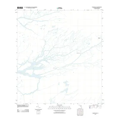
2012 Map of Tarpon Bay
USGS Topo · Published 2012About this map
Tarpon Bay and the surrounding coastal wetlands of Monroe County are defined by a complex network of tidewater channels and historic campsites in the early 21st century. The hydrography of this sub-tropical landscape is dominated by the Broad River and the Watson River, which feed into the intricate labyrinth of the Everglades' western edge. Small, named dry-ground clearings such as Little Banana Patch and Cane Patch indicate the legacy of human presence in an environment otherwise governed by water and mangroves.
Find a feature on this map
13 named features on this map. Tap any name to fly to it.
Don’t see what you’re looking for? This feature index may not catch every label — zoom into the map to look around manually.
Map Details
Editions of this 2012 Tarpon Bay Map
This is the sole edition of this map. No revisions or reprints were ever made.
Other maps of this area

1956 · Miami
USGS Topo · 1:250,000

1958 · Miami
USGS Topo · 1:250,000

1972 · Whitewater Bay West
USGS Topo · 1:24,000

1972 · Whitewater Bay East
USGS Topo · 1:24,000

1972 · Mahogany Hammock
USGS Topo · 1:24,000

1972 · Harney River
USGS Topo · 1:24,000

1972 · Panther Mound
USGS Topo · 1:24,000

1972 · Tarpon Bay
USGS Topo · 1:24,000

1972 · Indian Camp Creek
USGS Topo · 1:24,000

1972 · Pa Hay Okee Lookout Tower
USGS Topo · 1:24,000