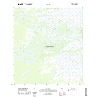
2018 Map of Tarpon Bay
USGS Topo · Published 2018About this map
Everglades National Park encompasses this entire coastal reach of Monroe County, Florida, where the freshwater sheet flow of the Shark River Slough meets the Gulf’s tidal influence. The landscape is a complex labyrinth of mangrove-lined waterways, including the Broad River, the North Harney River, and the Watson River. Unlike more settled regions, this map documents a wilderness defined by its hydrology, where named points of dry ground are rare. One such notable landmark is Rookery Mound, a topographic anomaly that hints at the area's pre-park human and ecological history. Dozens of tidal arteries, such as Avocado Creek, Otter Creek, and Rookery Branch, weave through the Sawgrass, creating a transition zone that terminates in the open water of Tarpon Bay.
Find a feature on this map
17 named features on this map. Tap any name to fly to it.
Don’t see what you’re looking for? This feature index may not catch every label — zoom into the map to look around manually.
Map Details
Editions of this 2018 Tarpon Bay Map
This is the sole edition of this map. No revisions or reprints were ever made.
Other maps of this area
1956 · Miami
USGS Topo · 1:250,000
1958 · Miami
USGS Topo · 1:250,000
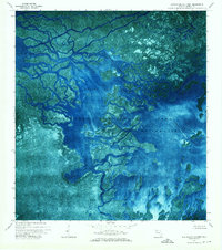
1972 · Whitewater Bay West
USGS Topo · 1:24,000
1972 · Whitewater Bay East
USGS Topo · 1:24,000
1972 · Mahogany Hammock
USGS Topo · 1:24,000
1972 · Harney River
USGS Topo · 1:24,000
1972 · Panther Mound
USGS Topo · 1:24,000
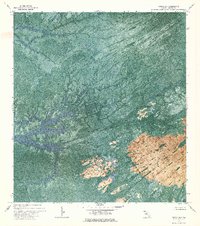
1972 · Tarpon Bay
USGS Topo · 1:24,000
1972 · Indian Camp Creek
USGS Topo · 1:24,000
1972 · Pa Hay Okee Lookout Tower
USGS Topo · 1:24,000