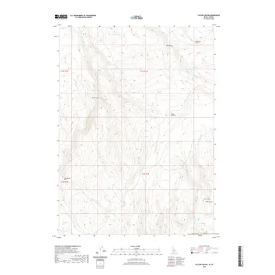
2020 Map of Taylor Canyon
USGS Topo · Published 2020About this map
The N Fork Salmon Falls Cr winds through this high-altitude landscape of southern Twin Falls County, defining a terrain characterized by deep drainage systems and perennial water sources. The map provides a detailed view of the water resources essential to this environment, including named features such as Merles Pond, Johns Pond, and the Twin Lakes. These basins, along with numerous high-country springs like Sage Hen Springs and Strawberry Spring, supported the seasonal grazing patterns at Beaver Meadows and across the public land system. Named landforms like Indian Jim Canyon and Jack Walker Draw reflect the human history of the area, where local ranchers and travelers identified specific corridors through the complex network of ridges. The topography shifts into the steep descents of Taylor Canyon, illustrating the high-desert character of the Idaho-Nevada borderlands.
Find a feature on this map
29 named features on this map. Tap any name to fly to it.
Don’t see what you’re looking for? This feature index may not catch every label — zoom into the map to look around manually.
Map Details
Editions of this 2020 Taylor Canyon Map
This is the sole edition of this map. No revisions or reprints were ever made.
Other maps of this area

1955 · Twin Falls
USGS Topo · 1:250,000

1955 · Wells
USGS Topo · 1:250,000
1957 · Contact
USGS Topo · 1:62,500
1957 · Elk Mountain
USGS Topo · 1:62,500

1958 · Wells
USGS Topo · 1:250,000

1958 · Twin Falls
USGS Topo · 1:250,000

1961 · Wells
USGS Topo · 1:250,000
1977 · Browns Bench South
USGS Topo · 1:24,000
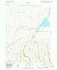
1977 · Cedar Creek Reservoir
USGS Topo · 1:24,000
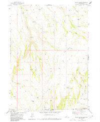
1978 · Taylor Canyon
USGS Topo · 1:24,000