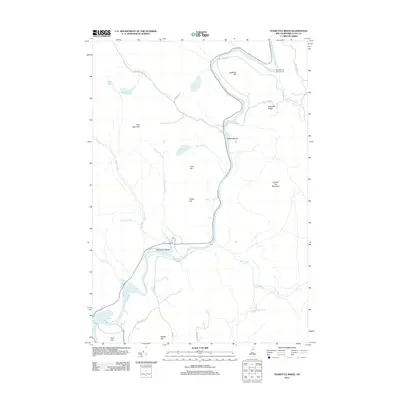
2012 Map of Teakettle Ridge
USGS Topo · Published 2012About this map
The Androscoggin River carves a deep path through Coos County in this 2012 survey, defining a landscape dominated by timberlands and river-driven geography. In the northern reaches, the Mollidgewock Campground sits near the river bend, while the namesake Teakettle Ridge and Double Top Mountain provide significant elevation to the east. The river environment is dotted with several unique features, including Seven Islands and the substantial Wentworth Island near where the waters begin to pool toward the Pontook Reservoir in the south.
Find a feature on this map
35 named features on this map. Tap any name to fly to it.
Don’t see what you’re looking for? This feature index may not catch every label — zoom into the map to look around manually.
Map Details
Editions of this 2012 Teakettle Ridge Map
This is the sole edition of this map. No revisions or reprints were ever made.
Other maps of this area

1930 · Milan
USGS Topo · 1:62,500

1930 · Percy
USGS Topo · 1:62,500

1930 · Dixville
USGS Topo · 1:62,500

1930 · Errol
USGS Topo · 1:62,500

1933 · Dixville
USGS Topo · 1:62,500

1933 · Milan
USGS Topo · 1:62,500

1934 · Percy
USGS Topo · 1:62,500

1934 · Dixville
USGS Topo · 1:62,500

1934 · Errol
USGS Topo · 1:62,500

1934 · Milan
USGS Topo · 1:62,500