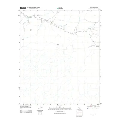
2012 Map of Tecate
USGS Topo · Published 2012About this map
The international border landscape south of San Diego is defined here by the crossing at Tecate, where the terrain rises sharply into the prominent Tecate Peak. This 2012 survey illustrates the infrastructure required to manage life in this arid, high-elevation environment, notably the San Diego City Conduit winding near Dulzura Summit. To the north, the small settlement of Barrett Junction serves as a meeting point for regional routes like Barrett Lake Rd and Barrett Smith Rd near the confluence of Cottonwood Cr and Potrero Cr. The map shows a transition from the narrow drainages of Bee Canyon and Grapevine Cr to the more open plateau of Big Potrero, illustrating the complex drainage patterns of the coastal ranges as they approach the Mexican border.
Find a feature on this map
25 named features on this map. Tap any name to fly to it.
Don’t see what you’re looking for? This feature index may not catch every label — zoom into the map to look around manually.
Map Details
Editions of this 2012 Tecate Map
This is the sole edition of this map. No revisions or reprints were ever made.
Other maps of this area

1903 · Cuyamaca
USGS Topo · 1:125,000

1904 · Southern California Sheet No. 2
USGS Topo · 1:250,000

1942 · Potrero
USGS Topo · 1:48,000

1943 · Jamul
USGS Topo · 1:62,500

1944 · Potrero
USGS Topo · 1:62,500

1950 · San Diego
USGS Topo · 1:250,000

1954 · San Diego
USGS Topo · 1:250,000

1955 · San Diego
USGS Topo · 1:250,000
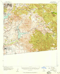
1955 · Jamul
USGS Topo · 1:62,500

1958 · San Diego
USGS Topo · 1:250,000