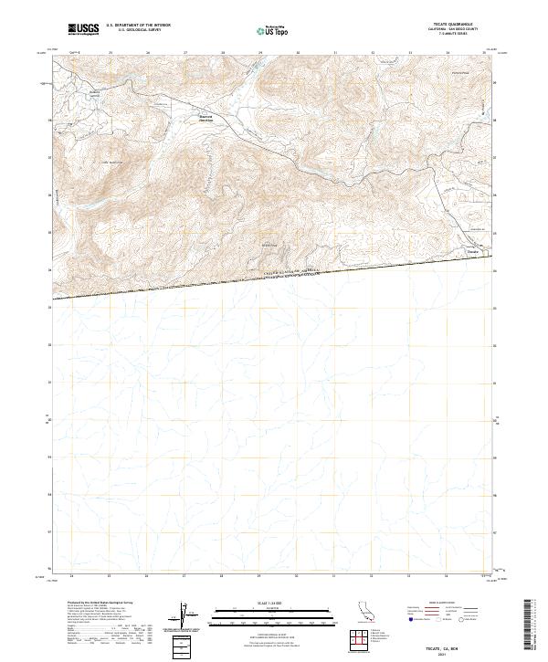
2021 Map of Tecate
USGS Topo · Published 2021About this map
Tecate sits directly at the international boundary in this 2021 study of San Diego County's southern borderlands. The landscape is defined by high-elevation summits including Tecate Peak, Little Tecate Peak, and Potrero Peak, overlooking the broad expanse of Big Potrero. This map captures the intersection of critical infrastructure and rugged geography, notably featuring the San Diego City Conduit and the junction of major routes at Barrett Junction and Dulzura Summit.
Find a feature on this map
28 named features on this map. Tap any name to fly to it.
Don’t see what you’re looking for? This feature index may not catch every label — zoom into the map to look around manually.
Map Details
Editions of this 2021 Tecate Map
This is the sole edition of this map. No revisions or reprints were ever made.
Other maps of this area

1903 · Cuyamaca
USGS Topo · 1:125,000

1904 · Southern California Sheet No. 2
USGS Topo · 1:250,000

1942 · Potrero
USGS Topo · 1:48,000

1943 · Jamul
USGS Topo · 1:62,500

1944 · Potrero
USGS Topo · 1:62,500

1950 · San Diego
USGS Topo · 1:250,000

1954 · San Diego
USGS Topo · 1:250,000

1955 · San Diego
USGS Topo · 1:250,000
1955 · Jamul
USGS Topo · 1:62,500

1958 · San Diego
USGS Topo · 1:250,000