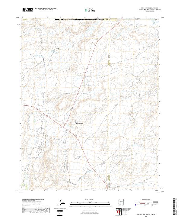
2021 Map of Teec Nos Pos
USGS Topo · Published 2021About this map
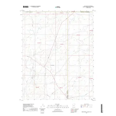
Teec Nos Pos serves as the central hub of this Four Corners landscape, where the borders of Arizona, New Mexico, Utah, and Colorado converge. The terrain is defined by a network of seasonal watercourses, including Toh Dahstini Wash and Tohache Wash, which cut across the high desert plateaus. This 2021 survey documents the intricate modern road network essential for navigating the Navajo Nation, from Bia RD 5059 to the winding paths of Indian Rte 5114 and Ir 5111. The mapping details critical water sources in an arid environment, such as Goat Spring and the significant Salt Wash drainage system. These features illustrate the enduring relationship between the community and the natural topography of the San Juan Basin, highlighting how modern infrastructure follows the ancient natural corridors of the washes.
Find a feature on this map
36 named features on this map. Tap any name to fly to it.
Don’t see what you’re looking for? This feature index may not catch every label — zoom into the map to look around manually.
Map Details
Editions of this 2021 Teec Nos Pos Map
This is the sole edition of this map. No revisions or reprints were ever made.
Historical Maps of Utah Through Time
5 maps found
Featured Locations
- Shiprock Agency
- Montezuma County, CO
- Apache County, AZ
- San Juan County, NM
- Teec Nos Pos, Shiprock Agency