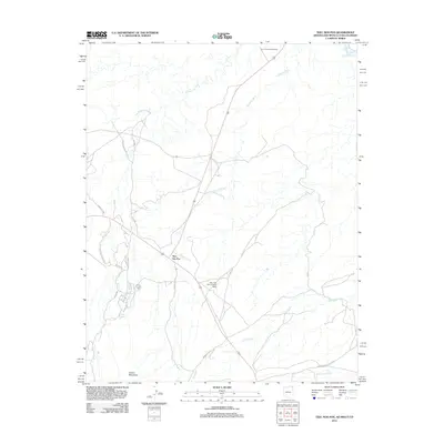
2011 Map of Teec Nos Pos
USGS Topo · Published 2011About this map
The Teec Nos Pos settlement serves as a central hub in this high-desert landscape, where the borders of Arizona, New Mexico, Utah, and Colorado converge at the Four Corners Monument. This 2011 survey captures the intricate drainage network of the region, defined by the San Juan River in the northeast and the expansive Tohache Wash that winds through the center. The southern portion of the map is dominated by the northern slopes of the Carrizo Mountains, where seasonal water sources like Goat Spring provide essential moisture to the arid terrain.
Find a feature on this map
23 named features on this map. Tap any name to fly to it.
Don’t see what you’re looking for? This feature index may not catch every label — zoom into the map to look around manually.
Map Details
Editions of this 2011 Teec Nos Pos Map
2 editions found
Other maps of this area

1886 · Abajo
USGS Topo · 1:250,000

1889 · Chaco
USGS Topo · 1:250,000

1892 · Abajo
USGS Topo · 1:250,000

1892 · Chaco
USGS Topo · 1:250,000

1892 · Canyon De Chelly
USGS Topo · 1:250,000

1893 · Abajo
USGS Topo · 1:250,000

1934 · Rattlesnake
USGS Topo · 1:62,500

1937 · Rattlesnake
USGS Topo · 1:62,500

1953 · Pastora Peak SW
USGS Topo · 1:24,000

1953 · Pastora Peak NW
USGS Topo · 1:24,000
Featured Places
- Shiprock Agency
- Teec Nos Pos, Shiprock Agency
- San Juan County, NM
- Apache County, AZ
- Montezuma County, CO