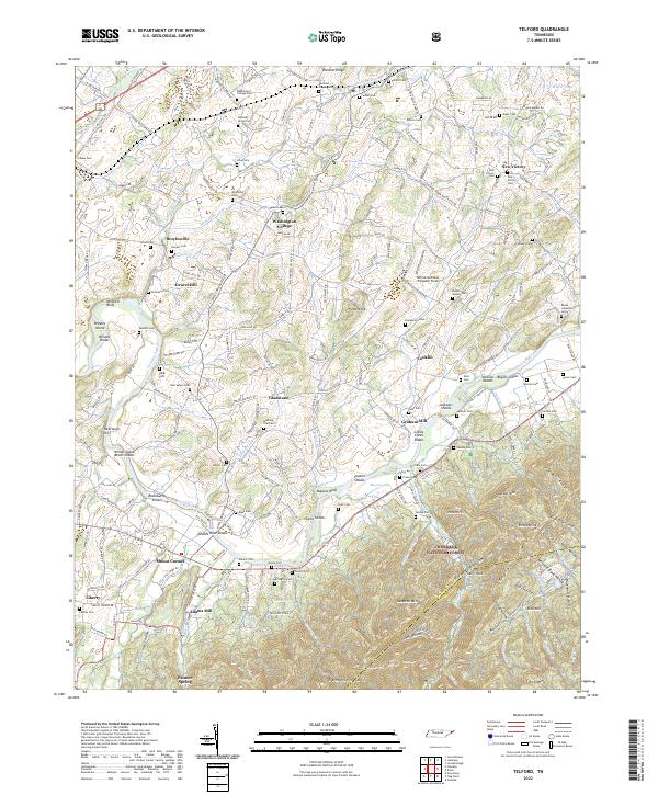
2022 Map of Telford
USGS Topo · Published 2022About this map
Washington College and the surrounding farmland of Washington County define this region, where the educational institution sits at the crossroads of Martin Rd and Washington College Rd. The landscape is deeply tied to the Nolichucky River, which meanders through the southern half of the map, creating a series of named water features like Wilsons Shoals, Woods Rock Shoals, and Sevier Shoals. These shoals and bluffs, such as Bayless Bluff and Mitchell Bluff, illustrate the historical importance of the river for navigation and early industry before the expansion of modern road networks.
Find a feature on this map
99 named features on this map. Tap any name to fly to it.
Don’t see what you’re looking for? This feature index may not catch every label — zoom into the map to look around manually.
Map Details
Editions of this 2022 Telford Map
This is the sole edition of this map. No revisions or reprints were ever made.
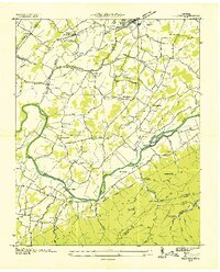
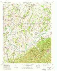
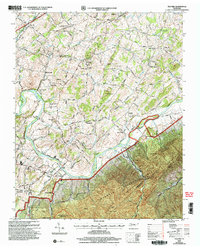
Historical Maps of Adams Mill Through Time
4 maps found