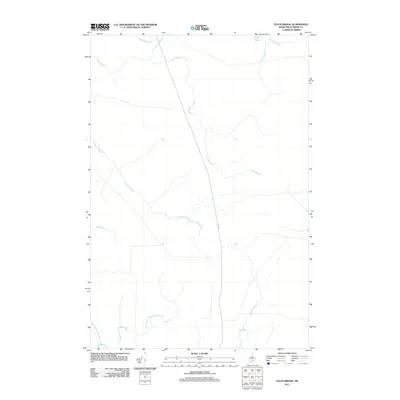
2011 Map of Telos Brook
USGS Topo · Published 2011About this map
Telos Lake and its surrounding drainage systems define this section of Piscataquis County, where the north-central Maine wilderness is primarily connected by the path of Telos Rd. This 2011 survey documents a landscape dominated by water, with Telos Brook and Telos Stream carving through the terrain alongside numerous smaller tributaries. The convergence of Cuxabexis Stream and the distinct forks of East Branch Ripogenus Stream and West Branch Ripogenus Stream reflects the hydrology that has historically supported the region's timber and recreational heritage. Away from the main road, the map reveals a network of smaller flows like Midnight Brook and Soper Brook, showing the area's character as it appeared in the early 21st century.
Find a feature on this map
12 named features on this map. Tap any name to fly to it.
Don’t see what you’re looking for? This feature index may not catch every label — zoom into the map to look around manually.
Map Details
Editions of this 2011 Telos Brook Map
This is the sole edition of this map. No revisions or reprints were ever made.
Other maps of this area

1953 · Telos Lake
USGS Topo · 1:62,500

1954 · Chesuncook
USGS Topo · 1:62,500

1954 · Grant Farm
USGS Topo · 1:62,500

1954 · Harrington Lake
USGS Topo · 1:62,500

1954 · Presque Isle
USGS Topo · 1:250,000

1954 · Millinocket
USGS Topo · 1:250,000

1957 · Telos Lake
USGS Topo · 1:62,500

1958 · Presque Isle
USGS Topo · 1:250,000

1958 · Millinocket
USGS Topo · 1:250,000

1958 · Chesuncook
USGS Topo · 1:62,500