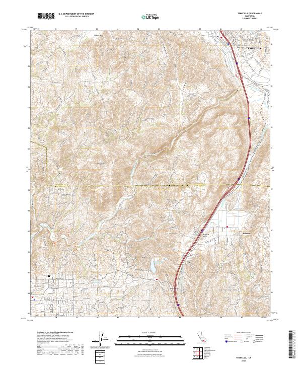
2022 Map of Temecula
USGS Topo · Published 2022About this map
The Temecula Valley serves as a critical geographic transition between the coastal plains and the interior mountains of Southern California. This 2022 survey illustrates the modern layout of Temecula and the community of Rainbow to the south, highlighting the infrastructure required to support this region's growth. The San Diego Aqueduct and Second San Diego Aqueduct are prominent engineering features, tracing the delivery of water across the varied terrain. The landscape is defined by dramatic elevation changes, from the depths of Temecula Canyon to the summits of Gavilan Mtn and Monserate Mtn. The Santa Margarita River winds through the southwestern corner, while local history is preserved at the Temecula Public Cem and Masonic Cem, marking early settlement patterns amidst the expanding suburban and agricultural corridors.
Find a feature on this map
188 named features on this map. Tap any name to fly to it.
Don’t see what you’re looking for? This feature index may not catch every label — zoom into the map to look around manually.
Map Details
Editions of this 2022 Temecula Map
This is the sole edition of this map. No revisions or reprints were ever made.
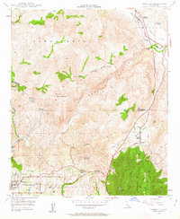
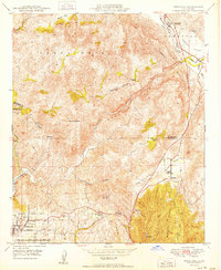
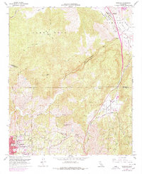
Historical Maps of Rainbow Through Time
5 maps found

Featured Locations
- Ridgecrest Estates, CA
- Temecula, CA
- Santa Margarita Ranchos, CA
- Old Town, Temecula
- Crystal Ridge, Temecula